

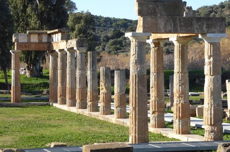
Archaeological site of Brauron
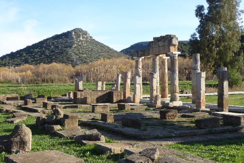
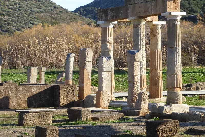
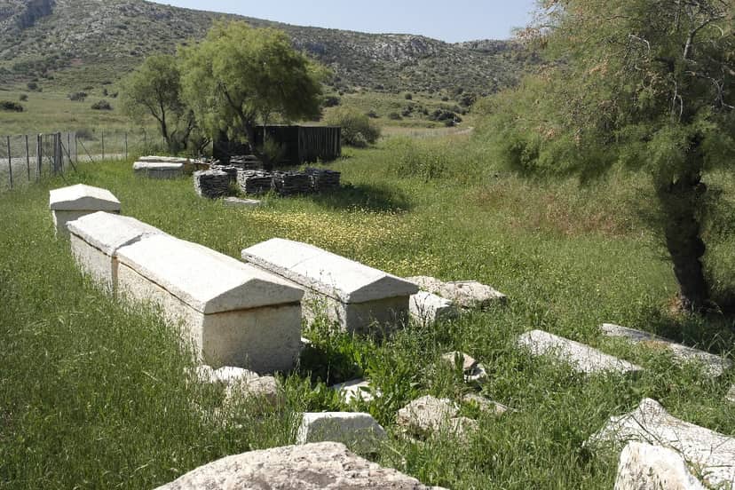
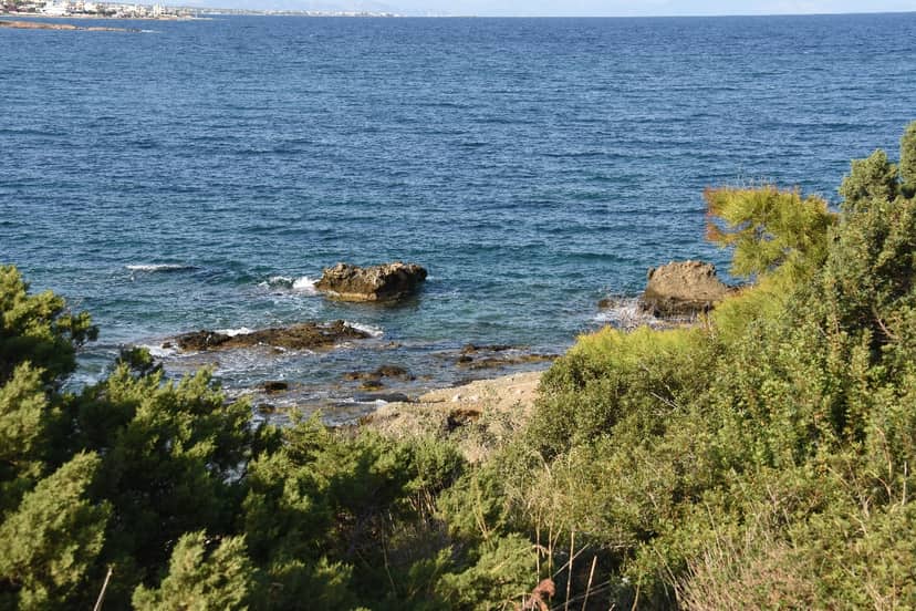
The area of Brauronis designated as a Landscape of Special Natural Beauty and is protected in an area of 108.2 hectares, a total perimeter of 6.8 km with a maximum altitude of 48 m. The landscape is quite complex because it includes a sandy beach, a wetland, an archaeological site with prehistoric and medieval buildings and Byzantine monuments, a coastal forest and olive groves. Geologically, the area is covered by limestone and alluvial deposits.
The natural bay of Brauron was the main reason for the first settlement of people already in the Neolithic and especially in the Early Helladic years (3500 – 2000 B.C.), as its favorable position ensured communication with the islands of the Cyclades and Asia Minor. Shells found on the eastern side of the hill of the prehistoric acropolis, where the current Museum of Brauron is located, date to the Neolithic era. In the same area as well as on the eastern and southern sides of the hill, even on the northern slopes, pottery from the Early Helladic era (2650 – 2000 BC.) was found.
During the Middle Helladic period (2000 – 1600 BC.) the settlement to which the sanctuary later became a part developed into a truly organized community and reached a high point of development as evidenced by the many remains of dwellings, which were uncovered on the top of the hill and on the highest part of its northern side, as well as the abundance of excellent quality Mycenaean and dark-colored pottery. Also, the presence of enclosures and walls testifies either that the inhabitants had been attacked or that, anticipating the danger of an enemy attack, they built walls to protect their settlement.
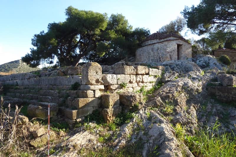
During the Middle Helladic period (1600 – 1100 BC.) the site was more densely populated, as shown by the remains of houses on the top of the hill and on the highest part of the northern slope, but also by the chamber-shaped carved tombs of the Late Helladic III b-c period, which have been excavated on the western slopes of Lapoutsi hill opposite and east of the Museum, in Chamolia and elsewhere. At the end of the Mycenaean era, it seems that the settlement declines and is abandoned in the period from the Late Helladic III b (1300 – 1230) to 900 B.C., apparently after the attack of enemies in Attica. Upon their return, the residents did not settle on the hill of Brauron, but about 3 km further from it, in the area of “Kipoi”, as the memory of the attacks prevented them from settling on the same hill where the destroyed houses stood. The new settlement of Brauron was further from the sea and was not visible due to the low hills that protected it. Peisistratos had his property in this exact location.
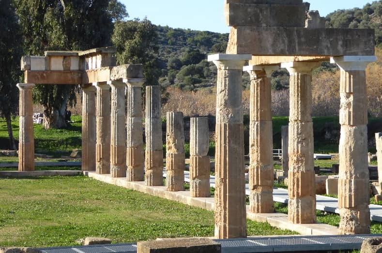
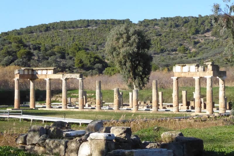
Remains from the Geometric (9th – 8th BC.) and Archaic (7th – 6th BC.) periods have also been identified in the Kapsala area, Le – Despoti and Agios Dimitrios, while settlement ruins were also found on the western and southern slopes of the elongated hill, which stretches between the areas of “Kipoi” and “Metochi” of Brauron, where the Municipality of Philaidos was located. In the hills around the sanctuary and the plain, remains of tombs from geometric times were discovered. In the archaic period (700 – 508 BC.) the oldest temple of Artemis was located. Intense building activity in the sanctuary was observed from the middle of the 5th century and throughout the 4th century. e.g. In addition to the temple, the sanctuary included several buildings. Many of them have been brought to light by excavations while others have not yet been identified, but are attested in inscriptions.
The sediments of the small river Erasinos that flows into the area partially covered the presumed port and the antiquities and gradually created the wetland area. The presence of extensive archaeological finds acted as a deterrent for the building development of the area. The area is suitable for walks only in the fenced archaeological site and along the coast.
The area of Brauronis designated as a Landscape of Special Natural Beauty and is protected in an area of 108.2 hectares, a total perimeter of 6.8 km with a maximum altitude of 48 m. The landscape is quite complex because it includes a sandy beach, a wetland, an archaeological site with prehistoric and medieval buildings and Byzantine monuments, a coastal forest and olive groves. Geologically, the area is covered by limestone and alluvial deposits. The natural bay of Brauron was the main reason for the first settlement of people already in the Neolithic and especially in the Early Helladic…
On the map
Experience Attica
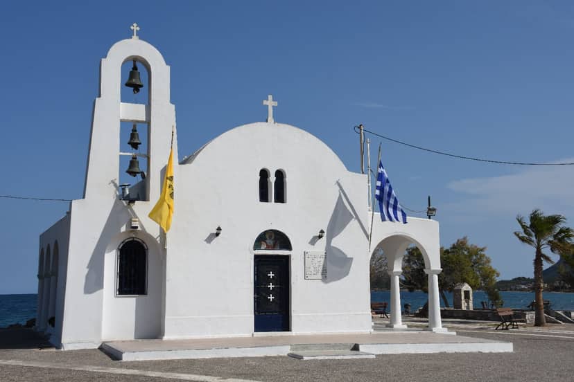
Church of Saint Marina Porto Rafti
The church of St. Marina was founded on June 3, 1950. It was designed by the architect Vasilios Nikolaidis. The foundations of…