

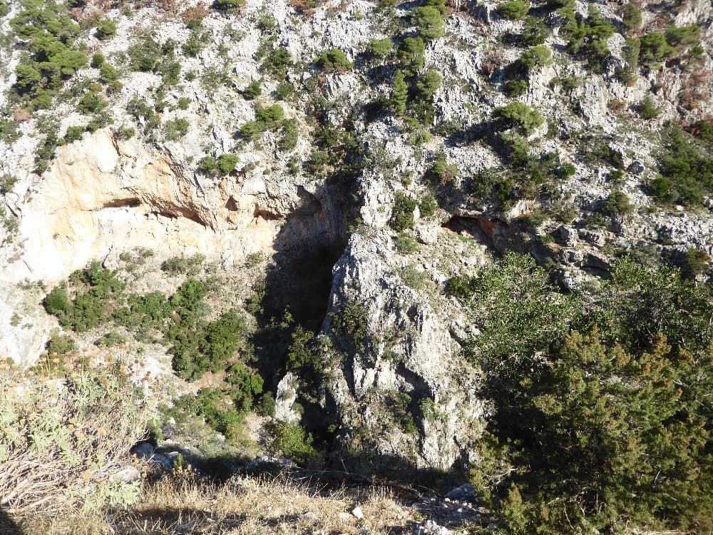
Arma and Gouras Canyon
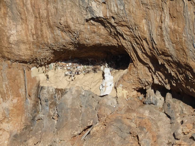
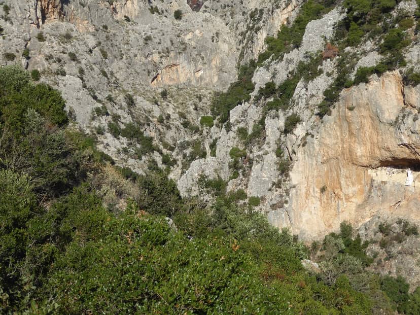
With a total area of 549.43 hectares, total perimeter (km) 13.1, maximum altitude (m) 900.0 and minimum altitude (m) 300.0, the habitat is formed dominated by the gorge and the stream of Gouras. The gorge descends from the western slopes of Parnitha, north of the village of Fili (Hasia) . On its western side, the steep slopes of Armas dominate. In the background flows a small seasonal stream that often brings down a lot of water and forms small waterfalls and ponds. Pine trees, holly trees and various shrubs grow on the surrounding rocks. To the left of the entrance of the gorge is the well-known Monastery of Kleiston. The area is located outside the Parnitha National Park . The canyon has 16 relatively short rappels.
With a total area of 549.43 hectares, total perimeter (km) 13.1, maximum altitude (m) 900.0 and minimum altitude (m) 300.0, the habitat is formed dominated by the gorge and the stream of Gouras. The gorge descends from the western slopes of Parnitha, north of the village of Fili (Hasia) . On its western side, the steep slopes of Armas dominate. In the background flows a small seasonal stream that often brings down a lot of water and forms small waterfalls and ponds. Pine trees, holly trees and various shrubs grow on the surrounding rocks. To the left of the entrance of the gorge is the well…
On the map
Experience Attica
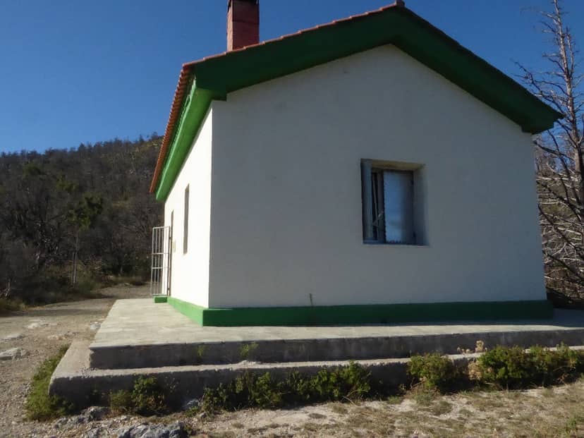
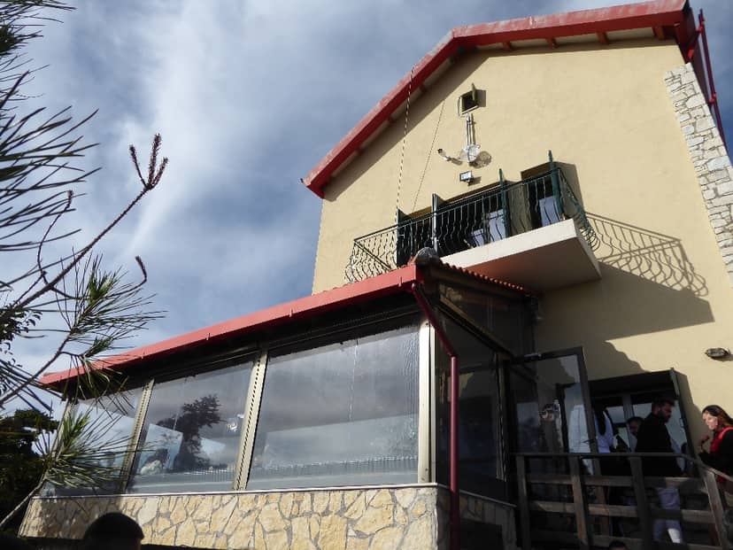
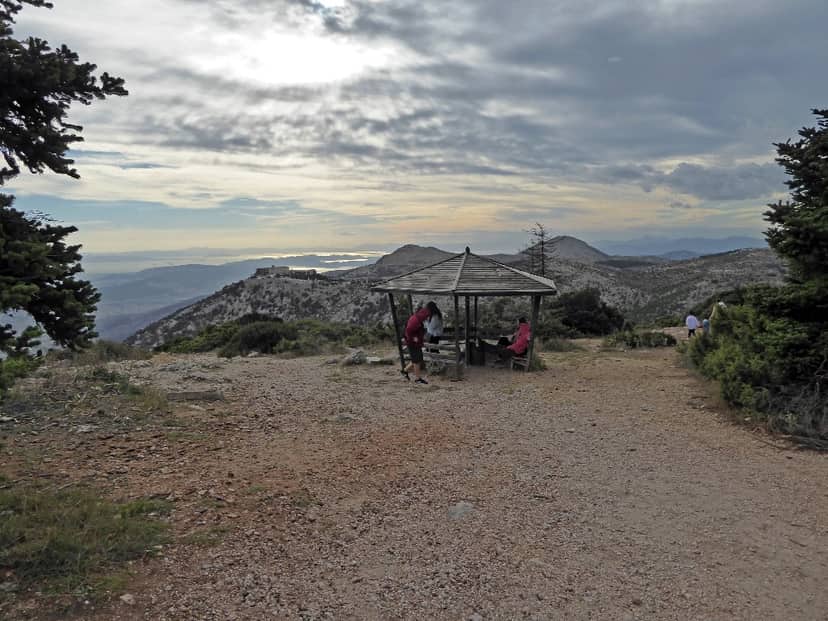
Flambouri Mountaineering Shelter
In the green fir forest of Parnitha, in the village of Flambouri and at an altitude of 1,158 metres, is the shelter “Flambouri”…