

The Fortress of Fyli
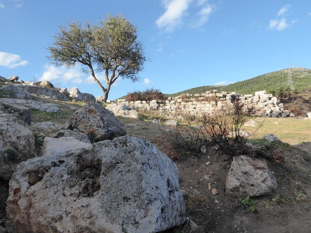
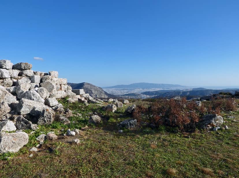
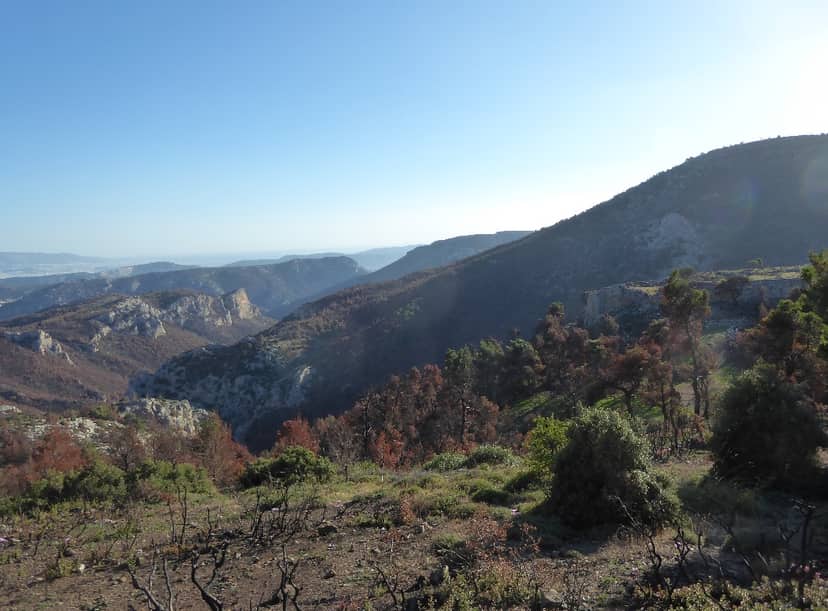
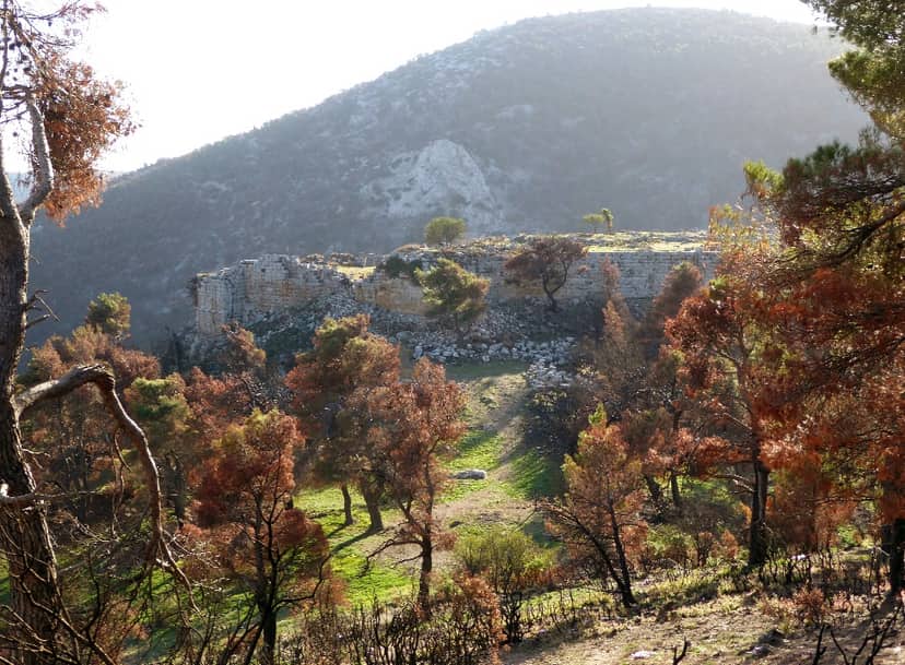
The ancient fortress of Fyli is located on the north-western slope of Parnitha, at an altitude of 850 metres and about 10 kilometers north-west of the modern settlement of Fyli. It is one of the many border fortresses built by the Athenians to control the roads leading to the Attic hinterland. The fortress of Fyli, which dates from the 4th century BC, was strategically located on the most direct, though not the easiest, road linking Athens to Thebes. The irregularly shaped wall surrounds the eastern side of the hill. The western side of the hill is so steep that it did not need to be walled. From the top of the hill there is an excellent view of the city of Athens. The steep cliffs there have been levelled to create an area flat enough to accommodate buildings. These were dwellings and buildings for the daily needs of the garrison who lived there permanently.
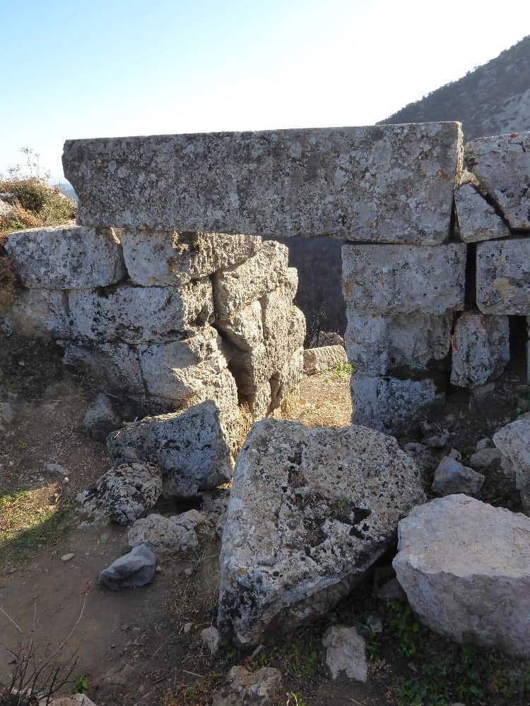
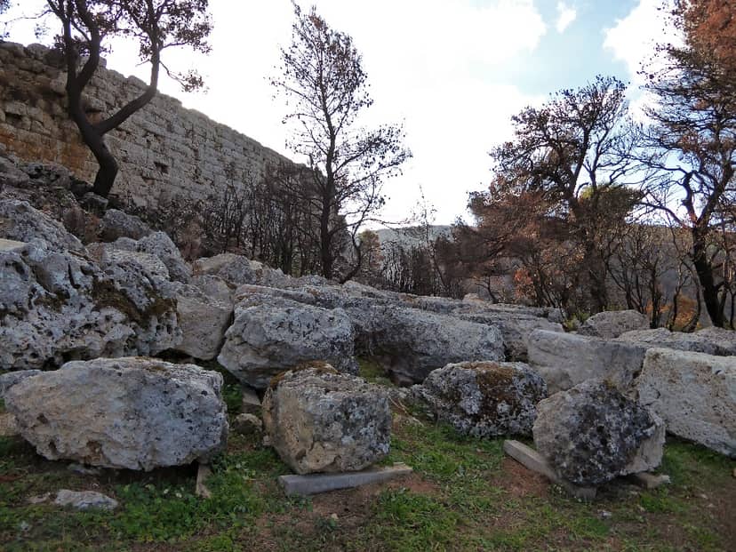
Only the foundations of these buildings have survived. The fortified area is relatively small (30 x 100 metres). The wall has an average width of 2.5 metres and is surmounted by ramparts. It is made of well worked rectangular blocks of local grey limestone. It has four towers, three rectangular and one circular. The circular tower, with a diameter of about 6 metres, is the strongest. It is located in the north-eastern corner, which is also the most vulnerable, as the ground is much smoother there. On the east side of the wall, near the round tower, is the main gate of the castle. A second gate is on the south side.
This building must have been an observatory – phryctoria – as it offered an unobstructed view of the adjacent road. Some scholars believe that the sections of polygonal masonry to the north-east of the 4th-century fortress do not belong to a fortress but to a settlement. If this interpretation is correct, it is likely that Thrasyvoulos conquered the village and used it as a stronghold against Piraeus. However, regardless of the existence of a fortress, the site of the ancient city of Fyli lies somewhere between this site and a spring of abundant water to the east of the 4th-century fortress.
The construction of the latter was part of a general programme of fortifications carried out by the Athenians after their defeat in the Peloponnesian War. The fortress of Fyli is mentioned in inscriptions and resolutions of the 4th century. It was systematically used in the wars against the Macedonians during the 3rd century. In 304 it was besieged and conquered by Cassander in his conflict with Demetrius I, the Besieger, and remained in his possession until 283. The last epigraphic evidence relates to repairs to the wall and dates from 236 BC.
The ancient fortress of Fyli is located on the north-western slope of Parnitha, at an altitude of 850 metres and about 10 kilometers north-west of the modern settlement of Fyli. It is one of the many border fortresses built by the Athenians to control the roads leading to the Attic hinterland. The fortress of Fyli, which dates from the 4th century BC, was strategically located on the most direct, though not the easiest, road linking Athens to Thebes. The irregularly shaped wall surrounds the eastern side of the hill. The western side of the hill is so steep that it did not need to be walled…
On the map
Experience Attica
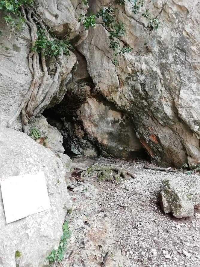
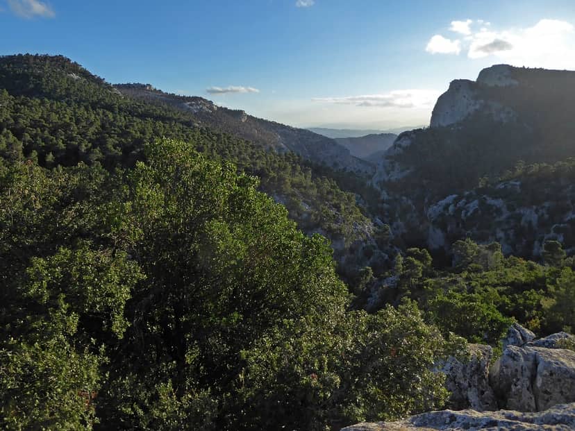
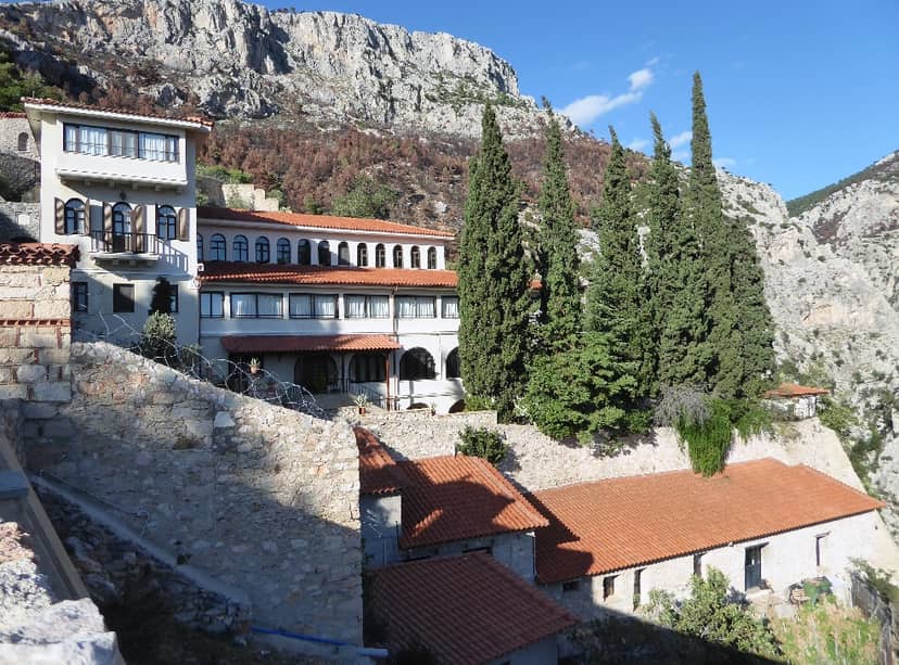
Kleiston Fylis Monastery of the Dormition of the Virgin Mary
The monastery of Kleiston of Fyli, dedicated to the Virgin Mary, is located three and a half kilometers northwest of Hasia, on…