

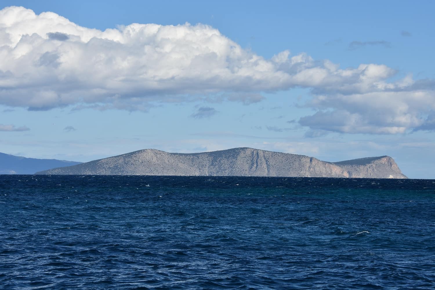
Dokos Island
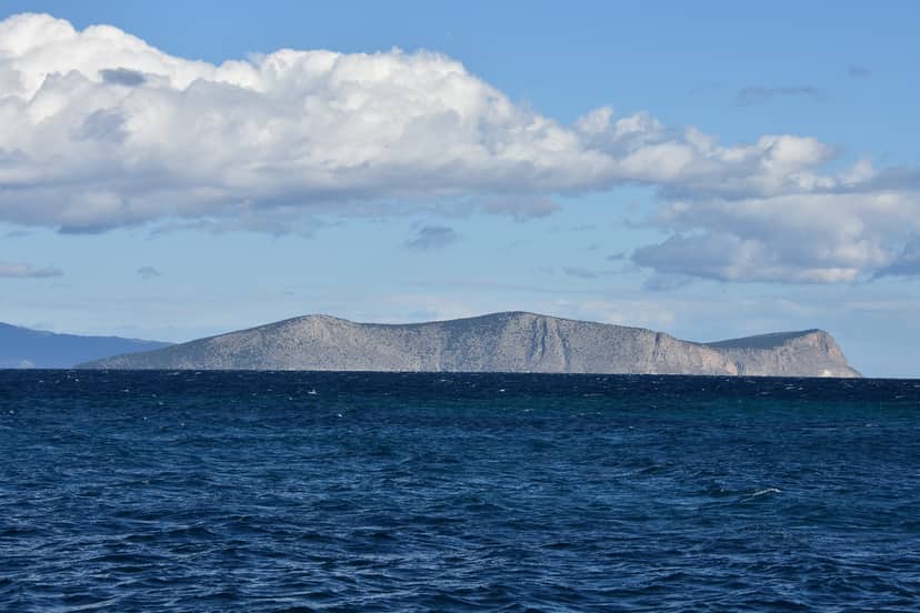
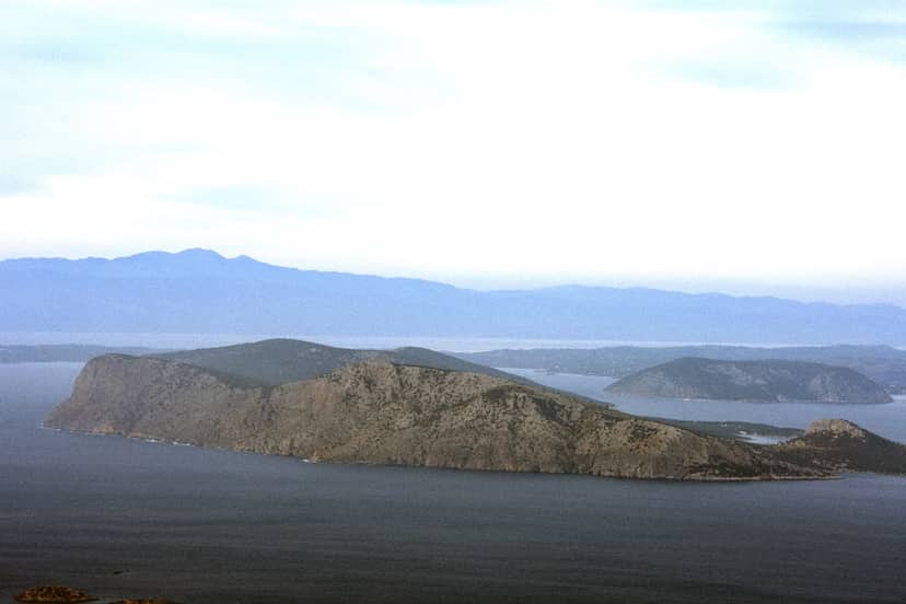
Dokos Island, a designated Landscape of Special Natural Beauty, is a wild and rocky island off the coast of Greece. With a total area of 1349.33 hectares and a perimeter of 24.2 kilometers, it reaches a maximum height of 99 meters. The island is currently uninhabited, but its cliffs provide nesting grounds for seabirds and offer stunning views of Hydra and Argolis.
In ancient times it was called Aperopia, due to the infinite view offered by its strategic position. Aperopia was also mentioned by Pausanias. It acquired the name Dokos, during the Byzantine period as it is a passage for Hydra and also for Ermioni, for the latter through the Vouportmos, the ancient name of Mouzaki peninsula on the continental side of the passage.
On its eastern side lay the ruins of a large Byzantine-Venetian castle. During the 1821 Revolution, it was used by the Hydra fleet as a winter anchorage (Skintos bay). There are olive trees throughout its area. According to the 2011 census Dokos has 18 inhabitants.
According to archaeological research, the island had been inhabited since the Bronze Age, 6,000 years ago. Remains of that era were found along the entire beach. The earliest habitation of Dokos, presumed from the installation of two permanent establishments of the Proto-Hellenic II period (2800 – 2300 B.C.) on the northern coast of the island, on “Kommeni Myti” Cape and at the site “Ledeza”, can be interpreted in the context of the intense maritime activity of the carriers of the proto-Hellenic culture and the great prosperity of maritime trade, in the area of the Argosaronic Sea and in the Myrtle Sea, during the second half of the 3rd millennium B.C. In 1975 the oldest known shipwreck, dated between 2500 – 2000 B.C., was found near the coast. The shipwreck constitutes a tangible testimony of major importance for the practice of shipping in the wider region. Located a short distance from the southern rocky coast of “Kommeni Myti” Cape, a large part of which was excavated and studied by the Institute of Marine Archaeological Research during the years 1989-92. On the same promontory, much later, during late Mycenaean times, a fortified settlement of considerable size flourished, while in neighboring “Ledeza”, the existence of a strong Mycenaean enclosure is recognized, intended for the protection of a water source and for the gathering of herds.
In the middle of the 7th century, on a high fortified hill, a castle-state was established, on the north-eastern side of Skidos Bay. It seems that it was created by fugitives, coming from the surrounding areas and it is estimated that it was destroyed by the Arabs in the autumn of 673. During the centuries and until today, Dokos has been a place of permanent residence of shepherds and fishermen, as well as quarries. To the eastern site of the island, opposite Hydra, there is the Dokos Island lighthouse, which was built in 1923. The height of its tower is 9 meters and its focal height is 23 meters. Today, Dokos awaits its visitors from Spetses, Hydra and Ermioni in its blue-green waters, offering a unique and authentic experience.
Dokos Island, a designated Landscape of Special Natural Beauty, is a wild and rocky island off the coast of Greece. With a total area of 1349.33 hectares and a perimeter of 24.2 kilometers, it reaches a maximum height of 99 meters. The island is currently uninhabited, but its cliffs provide nesting grounds for seabirds and offer stunning views of Hydra and Argolis. In ancient times it was called Aperopia, due to the infinite view offered by its strategic position. Aperopia was also mentioned by Pausanias. It acquired the name Dokos, during the Byzantine period as it is a passage for Hydra…
On the map
Experience Attica
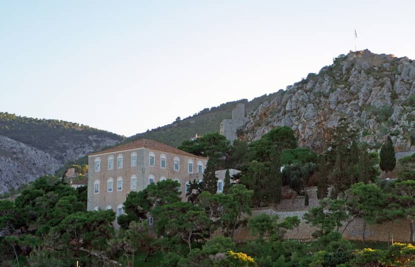
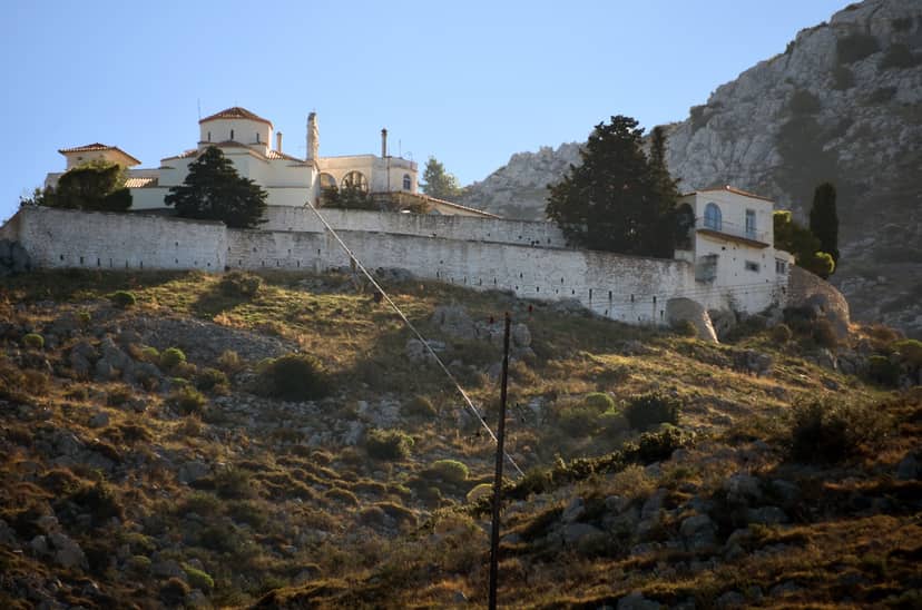
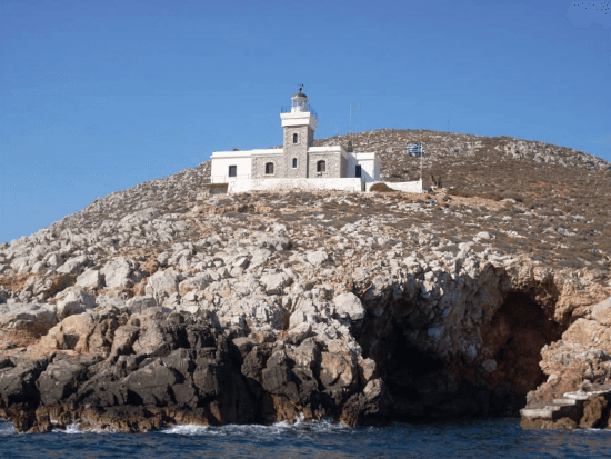
Zourvas Lighthouse-Hydra
This lighthouse was built in 1883 and is located in Hydra. The height of its tower is 10 metres and its focal height is 36…