

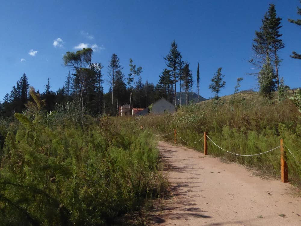
Former Royal Estate of Tatoi
A designated Landscape of Special Natural Beauty and a protected area of 3921.0 hectares with a total perimeter of 35.7 km that has a maximum altitude of 785 m and a minimum of 333.0 m. It is also designated as a wildlife refuge within an area of 11,693 hectares.
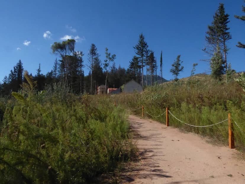
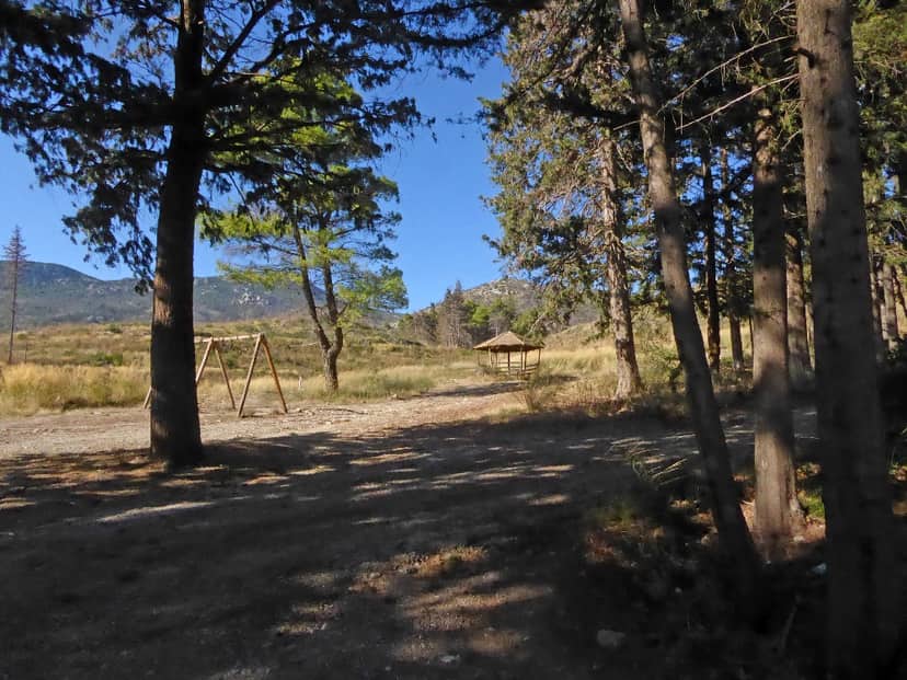
Hills, ravines and slopes of medium and low altitude covered by thick bushes with gorse, gorse, holly, etc. In places there are pine forests (Pinus halepensis) while locally we find ravines and clearings with plane trees. In the lower parts of the estate, in the Varybopi area there are also olive groves, fields, vineyards and other semi-abandoned crops. A stone’s throw from the center of Athens (about 30 minutes by car) you will find what can only be described as paradise on earth. The former Royal Estate of Tatoi was once the summer retreat of King George and Queen Olga, before it became the permanent residence of the royal family in 1948. Dense forests of Aleppo pines, towering cypresses, poplars, plane trees, beeches, Greek strawberries, olive trees and citrus fruits among others adorn the Tatoi estate, which is today protected by the Natura 2000 network as an area of outstanding natural beauty.
Of the 4,200 hectares of forest that once belonged to the former royal family of Greece, 1,400 hectares were granted by the Hellenic State (Bafi National Forest) to the Greek King in the year 1877. The rest were gradually purchased by the royal family through various contracts (including an 1891 purchase from Syngros). Tatoi currently belongs to the Greek State and is home to 40 historical buildings scattered among the estate’s forests and lush fields.
In the past years, Tatoi was one of the most magical areas in Greece. Its dense forests were home to red deer, roe deer, wild boars and other smaller animals. The estate was also home to vineyards that produced select wines, vegetable gardens that grew the royal family’s vegetables, large expanses of citrus trees and extensive olive groves. The estate’s structures included stables for the horses and other animals, a winery, an oil mill, and a butter room, just to name a few. The palace building was an elegant two-storey building with charming terraces and a tiled roof that was once adorned by an ornate cornice. It is currently listed as a Modern Monument with plans to turn it into a museum in the coming years. The steps in the front lead to the estate’s swimming pool, with the tennis court lying just beyond.
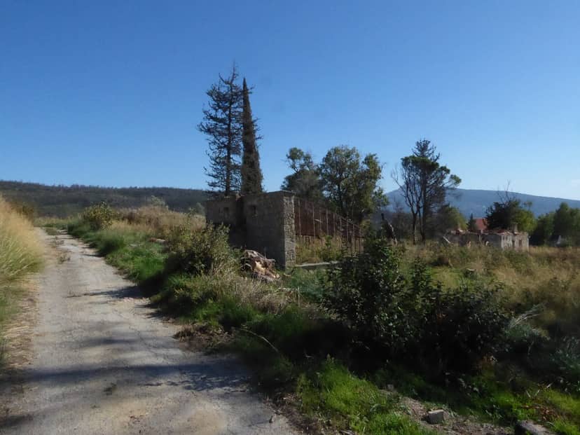
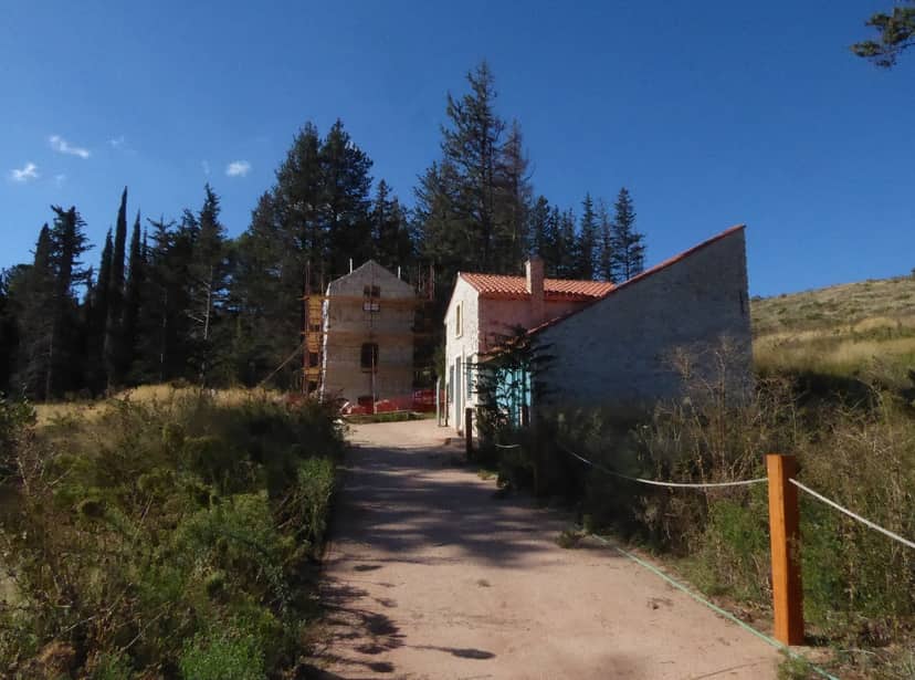
On the right stands a low, stone building which once housed the kitchen and was connected to the palace by an underground passageway (a souvenir shop and small cafeteria are to be created here for visitors). The verdant estate hides many more buildings, such as the government house and the Tatoion Hotel (which may soon be converted into a small and elegant boutique hotel). On the other end of the estate, between the tall pine trees and slim cypresses, there lie the graves of royal family members and the chapel of the Resurrection. These once abandoned buildings have all been touched by the relentless hand of time. However, their restoration has recently begun to turn the space into a museum.
Those who wish to visit the former Royal Estate of Tatoi should know that it is open from sunrise to sunset. There are two entrances to the estate, one from Varybombi (right behind Leonidas Restaurant) and one from Lefka. There is quite a distance from the Varybombi entrance to the historical centre of the estate, so most visitors prefer to enter from Lefka for easier access. Tatoi is ideal for hiking, mountain biking, jogging and picnics in the countryside. Visitors can tour the buildings and royal cemetery, or take a trip to the artificial lake of Kithara, where they’ll enjoy an amazing view of the entire Attica basin.
A designated Landscape of Special Natural Beauty and a protected area of 3921.0 hectares with a total perimeter of 35.7 km that has a maximum altitude of 785 m and a minimum of 333.0 m. It is also designated as a wildlife refuge within an area of 11,693 hectares. Hills, ravines and slopes of medium and low altitude covered by thick bushes with gorse, gorse, holly, etc. In places there are pine forests (Pinus halepensis) while locally we find ravines and clearings with plane trees. In the lower parts of the estate, in the Varybopi area there are also olive groves, fields, vineyards and othe…
On the map
Experience Attica
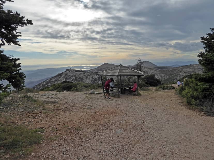
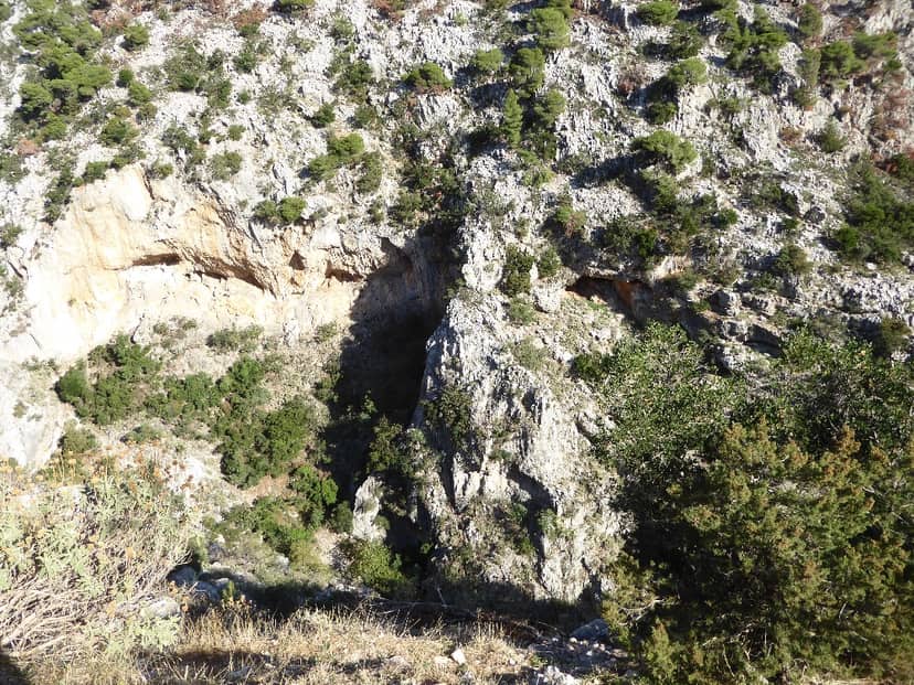
Arma and Gouras Canyon
With a total area of 549.43 hectares, total perimeter (km) 13.1, maximum altitude (m) 900.0 and minimum altitude (m) 300.0, the…